Chicago Braces for First Lake-Effect Snow Since March 18
Forecasters predict lake-effect bands will shift west into the city by Friday morning, ending a long dry spell.
By Sakura Ellis ·
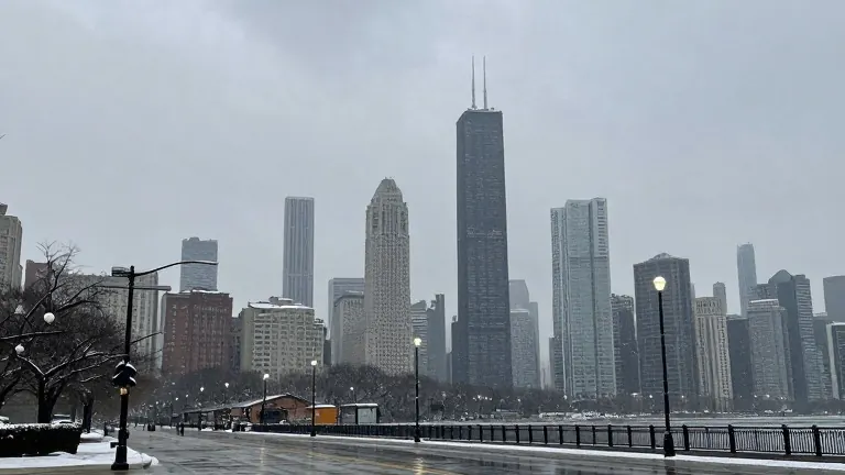
Winds blowing across Lake Michigan are set to collide with cooling air over land, creating a genuine threat for lake-effect snow in the Chicago area later this week. Meteorologist Iisha Scott of the NBC 5 Storm Team warned on Monday that these conditions could push precipitation bands toward the west, potentially bringing winter's first signals to the city proper.
The region has experienced a warm autumn, so any falling snow is unlikely to stick. Scott forecast that precipitation will likely arrive as a mix of rain and snow. The National Weather Service noted that the area is historically overdue for its first trace of snow. Typically, the first observed flakes at O'Hare International Airport arrive around Halloween.
Historical records show wide variations in when Chicago first sees snow. The earliest first trace occurred on September 25, 1942. The latest recorded first trace did not happen until December 5, 1999. If snowflakes are observed at O'Hare this week, it will mark the first recorded snow in the city since March 18, according to NWS data.
Forecast models indicate that lake-effect showers will begin developing on Thursday morning. Precipitation will fall as rain, particularly in northwest Indiana and areas of Illinois near the state line. As temperatures drop during the night and into Friday morning, some of that rain may turn to snow.
The band of precipitation is expected to drift slowly westward into Illinois. This shift could expand the area impacted by the weather system, including more parts of the Chicago metropolitan area. The timing aligns with the statistical average for the city's first measurable snowfall, which is defined as at least one-tenth of an inch of accumulation.
The average date for that first measurable snowfall is November 18. The earliest such event was recorded on October 12, 2006. For a full inch of accumulation, the typical first day is December 7. Residents can monitor the developing situation through the NBC Chicago app for real-time alerts throughout the week.