Chicago Faces First Snow Chance
Rain and temperatures in the 40s arrive midweek, with potential flurries on Thursday and Friday nights.
By Rebecca Svoboda ·
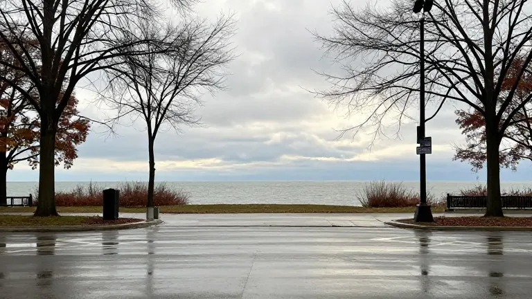
The National Weather Service forecasts a shift from mild dry conditions to rain and cooler air for the Chicago area this week. The pattern includes the potential for the region's first snowfall of the season. The forecast covers the immediate days starting Monday.
Temperatures will remain mild through the start of the workweek. The high for Monday is 63 degrees, followed by 64 degrees on Tuesday. Winds will shift from light and variable to west southwest at 5 to 10 mph during Monday afternoon. Tuesday brings sunny skies with a high near 61 degrees and light northwest winds that become calm in the afternoon.
Rain chances return on Wednesday. The service predicts a 40 percent chance of showers after noon. The high will drop to 61 degrees, before falling to 56 degrees in the Joliet area. Wednesday night holds a 30 percent chance of showers, mainly before midnight, with a low near 39 degrees.
Cooler air moves in on Thursday and Friday. Both days will feature highs in the 40s. Thursday carries a 40 percent chance of showers with a high near 43 degrees. The low will drop to 32 degrees, with a chance of rain. Friday will be partly sunny with a high near 43 degrees and a low of 29 degrees.
Lake effect showers are expected to develop and move into northwestern Indiana and possibly northeastern Illinois. Weather service graphics show snowflakes may mix with these showers on Thursday night and Friday night. This timing follows the typical first trace of snow date for Chicago, which is October 31.
The latest first trace of snow on record occurred on December 5, 1999. The area is also approaching the typical first date for measurable snow, defined as 0.1 inches or more. That date is November 18. The latest first measurable snowfall on record happened on December 28, 2021.